Footpath to Westwell
Introduction
The photograph on this page of Footpath to Westwell by David Anstiss as part of the Geograph project.
The Geograph project started in 2005 with the aim of publishing, organising and preserving representative images for every square kilometre of Great Britain, Ireland and the Isle of Man.

There are currently over 7.5m images from over 14,400 individuals and you can help contribute to the project by visiting https://www.geograph.org.uk
Footpath to Westwell
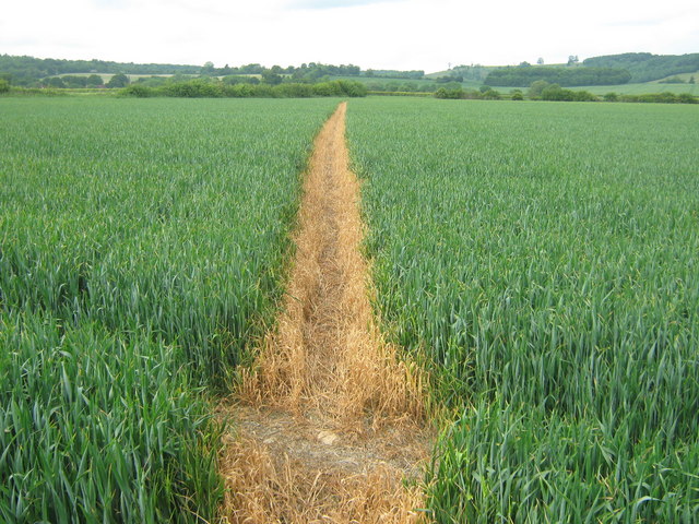
Image: © David Anstiss Taken: 28 May 2009
Path from Kingsland Lane, passes Elvery Farmhouse and then Dignash, to head to Westwell Lane, near Westwell Court.
Images are licensed for reuse under creativecommons.org/licenses/by-sa/2.0
Image Location
Latitude
51.183756
Longitude
0.851614