Approach to Parc from the south
Introduction
The photograph on this page of Approach to Parc from the south by Nigel Brown as part of the Geograph project.
The Geograph project started in 2005 with the aim of publishing, organising and preserving representative images for every square kilometre of Great Britain, Ireland and the Isle of Man.

There are currently over 7.5m images from over 14,400 individuals and you can help contribute to the project by visiting https://www.geograph.org.uk
Approach to Parc from the south
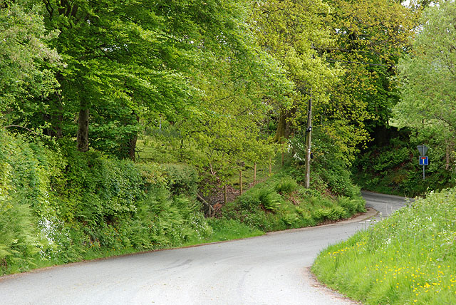
Image: © Nigel Brown Taken: 27 May 2009
Around the corner the road narrows and plunges very steeply down to the village. On the corner, a minor road branches west serving outlying farms and dwellings.
Images are licensed for reuse under creativecommons.org/licenses/by-sa/2.0
Image Location
Latitude
52.889296
Longitude
-3.674272