Mural, Clay Lane, Teignmouth
Introduction
The photograph on this page of Mural, Clay Lane, Teignmouth by Robin Stott as part of the Geograph project.
The Geograph project started in 2005 with the aim of publishing, organising and preserving representative images for every square kilometre of Great Britain, Ireland and the Isle of Man.

There are currently over 7.5m images from over 14,400 individuals and you can help contribute to the project by visiting https://www.geograph.org.uk
Mural, Clay Lane, Teignmouth
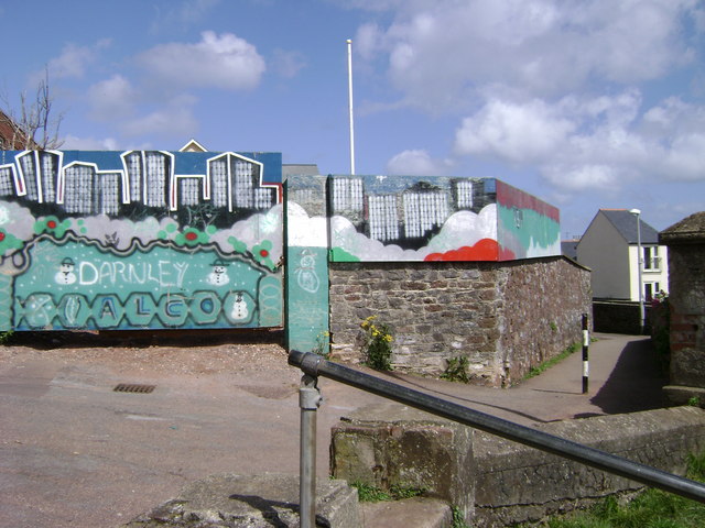
Image: © Robin Stott Taken: 19 May 2009
The path, right, runs along the top of the railway cutting to the Willow Street footbridge. The steps, foreground, lead down to Alexandra Terrace.
Images are licensed for reuse under creativecommons.org/licenses/by-sa/2.0
Image Location
Latitude
50.547071
Longitude
-3.501689