2009 : Looking west near the end of Dundry Lane
Introduction
The photograph on this page of 2009 : Looking west near the end of Dundry Lane by Maurice Pullin as part of the Geograph project.
The Geograph project started in 2005 with the aim of publishing, organising and preserving representative images for every square kilometre of Great Britain, Ireland and the Isle of Man.

There are currently over 7.5m images from over 14,400 individuals and you can help contribute to the project by visiting https://www.geograph.org.uk
2009 : Looking west near the end of Dundry Lane
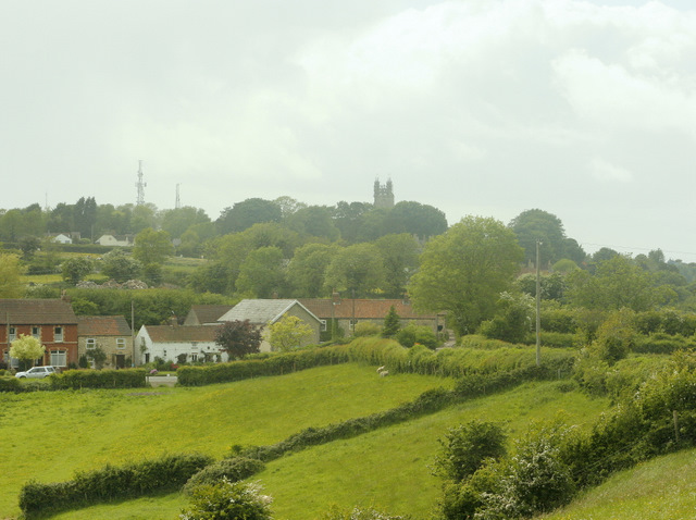
Image: © Maurice Pullin Taken: 26 May 2009
A hamlet near Maiden Head is in the foreground, also the minor road out of Bishopsworth to Chew Magna. The tower of Dundry Church sits on the skyline with two transmitter pylons.
Images are licensed for reuse under creativecommons.org/licenses/by-sa/2.0
Image Location


Leaflet Map data © OpenStreetMap
Latitude
51.396585
Longitude
-2.625064