Near Silverdale
Introduction
The photograph on this page of Near Silverdale by Alan Murray-Rust as part of the Geograph project.
The Geograph project started in 2005 with the aim of publishing, organising and preserving representative images for every square kilometre of Great Britain, Ireland and the Isle of Man.

There are currently over 7.5m images from over 14,400 individuals and you can help contribute to the project by visiting https://www.geograph.org.uk
Near Silverdale
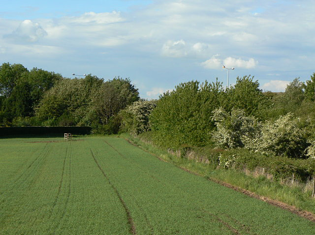
Image: © Alan Murray-Rust Taken: 21 May 2009
At this point the route of the proposed Nottingham tram extension to Clifton will leave the old railway alignment and cross the fields. It will use the old railway bridge under the Ring-road - the line of which can be just followed from the lighting columns - roughly where the lowest part of the skyline is, an head out to the left of the picture.
Images are licensed for reuse under creativecommons.org/licenses/by-sa/2.0
Image Location
Latitude
52.912598
Longitude
-1.159031