Horseshoe weir at Hythe Bridge
Introduction
The photograph on this page of Horseshoe weir at Hythe Bridge by Natasha Ceridwen de Chroustchoff as part of the Geograph project.
The Geograph project started in 2005 with the aim of publishing, organising and preserving representative images for every square kilometre of Great Britain, Ireland and the Isle of Man.

There are currently over 7.5m images from over 14,400 individuals and you can help contribute to the project by visiting https://www.geograph.org.uk
Horseshoe weir at Hythe Bridge
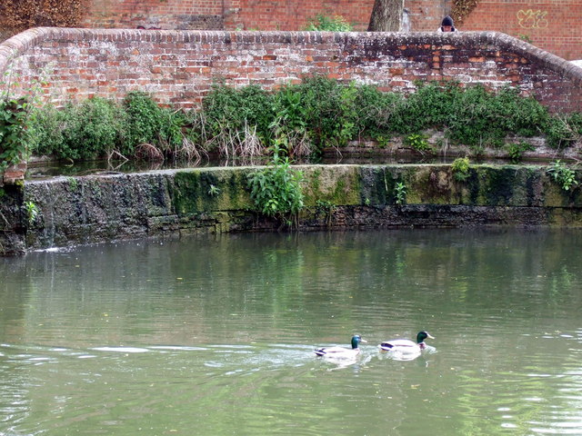
Image: © Natasha Ceridwen de Chroustchoff Taken: 15 May 2009
This is an overflow weir on the Oxford canal immediately to the north of Hythe Bridge, where the canal now comes to an end. It was built in 1822 to replace an earlier flash lock.
Images are licensed for reuse under creativecommons.org/licenses/by-sa/2.0
Image Location
Latitude
51.753996
Longitude
-1.265611