Shingle Bank
Introduction
The photograph on this page of Shingle Bank by Simon Carey as part of the Geograph project.
The Geograph project started in 2005 with the aim of publishing, organising and preserving representative images for every square kilometre of Great Britain, Ireland and the Isle of Man.

There are currently over 7.5m images from over 14,400 individuals and you can help contribute to the project by visiting https://www.geograph.org.uk
Shingle Bank
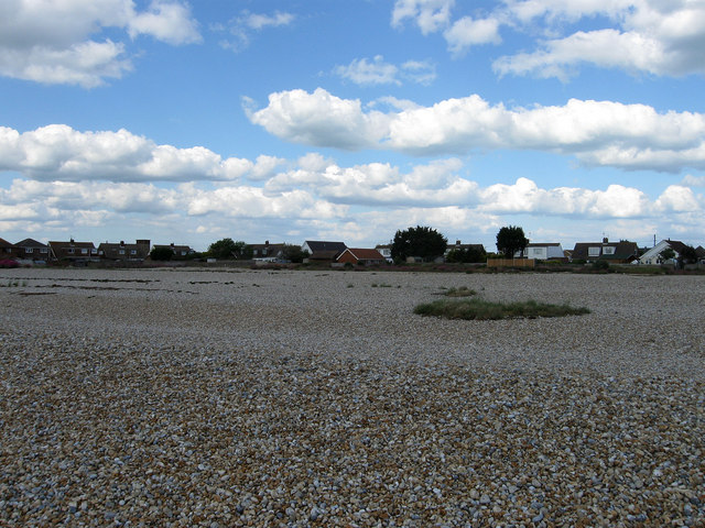
Image: © Simon Carey Taken: 26 May 2009
Greatstone is located at the northern edge of the Dungeness shingle bank which also formed the southern headland of the inlet that was once New Romney harbour. The inlet still existed in the 19th century and was only closed in 1900 when the movement of shingle from the north coupled with the building of sea walls finally closed it. This looks onto the houses in Roberts Road and Baldwin Road.
Images are licensed for reuse under creativecommons.org/licenses/by-sa/2.0
Image Location
Latitude
50.963211
Longitude
0.960005