Moordown Clinic
Introduction
The photograph on this page of Moordown Clinic by Mike Faherty as part of the Geograph project.
The Geograph project started in 2005 with the aim of publishing, organising and preserving representative images for every square kilometre of Great Britain, Ireland and the Isle of Man.

There are currently over 7.5m images from over 14,400 individuals and you can help contribute to the project by visiting https://www.geograph.org.uk
Moordown Clinic
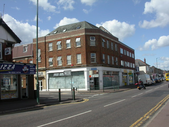
Image: © Mike Faherty Taken: 26 May 2009
Wimborne Road, junction Oswald Road. Despite the white-washed windows, the clinic appears still to be functioning. Offers contraception, breast-feeding & nappy use advice; the NHS website is not quite helpful. http://www.nhs.uk/ServiceDirectories/Pages/Hospital.aspx?id=5QN01&v=1
Images are licensed for reuse under creativecommons.org/licenses/by-sa/2.0
Image Location
Latitude
50.752105
Longitude
-1.876622