Clyde Walkway - M74 bridge site
Introduction
The photograph on this page of Clyde Walkway - M74 bridge site by Richard Webb as part of the Geograph project.
The Geograph project started in 2005 with the aim of publishing, organising and preserving representative images for every square kilometre of Great Britain, Ireland and the Isle of Man.

There are currently over 7.5m images from over 14,400 individuals and you can help contribute to the project by visiting https://www.geograph.org.uk
Clyde Walkway - M74 bridge site
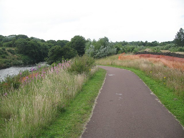
Image: © Richard Webb Taken: 25 Jul 2008
The path here will by now have changed completely. The orange netting shows the extent of the motorway construction in July 2008. The M74 will cross the Clyde here and is due to be completed in 2011.
Images are licensed for reuse under creativecommons.org/licenses/by-sa/2.0
Image Location
Latitude
55.836001
Longitude
-4.18095