Highbridge Wharf
Introduction
The photograph on this page of Highbridge Wharf by Kerryn as part of the Geograph project.
The Geograph project started in 2005 with the aim of publishing, organising and preserving representative images for every square kilometre of Great Britain, Ireland and the Isle of Man.

There are currently over 7.5m images from over 14,400 individuals and you can help contribute to the project by visiting https://www.geograph.org.uk
Highbridge Wharf
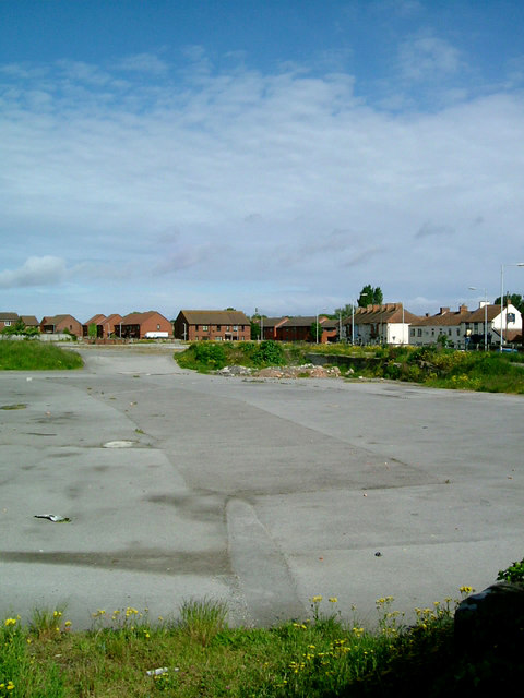
Image: © Kerryn Taken: 22 May 2009
This is the view north-west from the site of the original ‘high bridge’ to what was once Highbridge Wharf. When a new cut was made in 1801-09, as part of the River Brue Drainage Scheme, the old course of the Brue, including the wharf, was bypassed. Nonetheless, it managed to remain in commercial use, though at the last only in a small way, until the 1950s. Then it was surfaced, and used for what became the largest cattle market in the south-west; but that too closed in 2007.
Images are licensed for reuse under creativecommons.org/licenses/by-sa/2.0
Image Location
Latitude
51.219639
Longitude
-2.977483