Daniel Adamson Road, Salford
Introduction
The photograph on this page of Daniel Adamson Road, Salford by Geoff Royle as part of the Geograph project.
The Geograph project started in 2005 with the aim of publishing, organising and preserving representative images for every square kilometre of Great Britain, Ireland and the Isle of Man.

There are currently over 7.5m images from over 14,400 individuals and you can help contribute to the project by visiting https://www.geograph.org.uk
Daniel Adamson Road, Salford
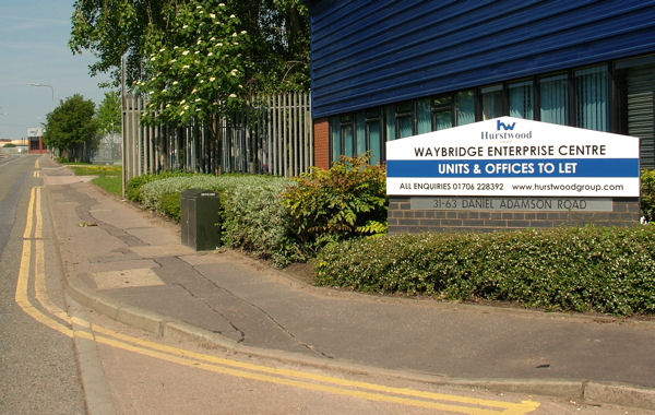
Image: © Geoff Royle Taken: 24 May 2009
Following a thorough search, no name-plates were found for this road. However, confirmation can be seen inscribed in the pedestal. The name of Daniel Adamson http://www.geograph.org.uk/photo/1200101 will be long remembered in connection with the Manchester Ship Canal which is a short walk from this scene.
Images are licensed for reuse under creativecommons.org/licenses/by-sa/2.0
Image Location
Latitude
53.477984
Longitude
-2.308691