Pen Cerrig-calch viewed from near Pen-pedair-heol
Introduction
The photograph on this page of Pen Cerrig-calch viewed from near Pen-pedair-heol by Philip Halling as part of the Geograph project.
The Geograph project started in 2005 with the aim of publishing, organising and preserving representative images for every square kilometre of Great Britain, Ireland and the Isle of Man.

There are currently over 7.5m images from over 14,400 individuals and you can help contribute to the project by visiting https://www.geograph.org.uk
Pen Cerrig-calch viewed from near Pen-pedair-heol
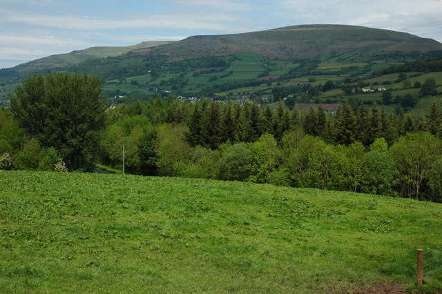
Image: © Philip Halling Taken: 23 May 2009
The 701m Pen Cerrig-calch, on the western side of the Black Mountains, viewed across the Usk valley from the towpath of the Monmouthshire and Brecon Canal near Pen-pedair-heol.
Images are licensed for reuse under creativecommons.org/licenses/by-sa/2.0
Image Location
Latitude
51.844906
Longitude
-3.129895