Crowlink
Introduction
The photograph on this page of Crowlink by Simon Carey as part of the Geograph project.
The Geograph project started in 2005 with the aim of publishing, organising and preserving representative images for every square kilometre of Great Britain, Ireland and the Isle of Man.

There are currently over 7.5m images from over 14,400 individuals and you can help contribute to the project by visiting https://www.geograph.org.uk
Crowlink
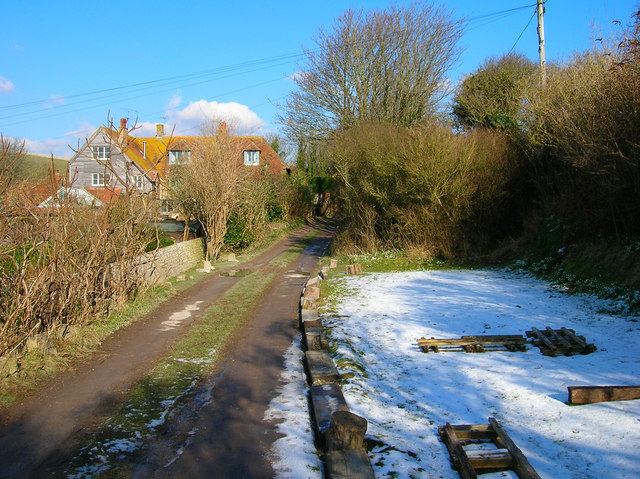
Image: © Simon Carey Taken: 4 Mar 2006
Small hamlet grouped around a manor house. Crowlink has two claims to fame, firstly Edith Nesbitt of Railway Children fame lived here for a while and secondly, during the heyday of smugglers the manor's extensive cellars hid high quality Gin that came to be known as 'Genuine Crowlink'. During the 18th century it was possible to reach the beach at Crowlink gap and became a landing place for smugglers. The track from Crowlink Gap led to Friston then across the Downs towards the Wealden villages where the major gangs were located. This view looks north east from the southern edge of the hamlet.
Images are licensed for reuse under creativecommons.org/licenses/by-sa/2.0
Image Location
Latitude
50.756564
Longitude
0.187625