Mill Green: Bush Hall Lane
Introduction
The photograph on this page of Mill Green: Bush Hall Lane by Nigel Cox as part of the Geograph project.
The Geograph project started in 2005 with the aim of publishing, organising and preserving representative images for every square kilometre of Great Britain, Ireland and the Isle of Man.

There are currently over 7.5m images from over 14,400 individuals and you can help contribute to the project by visiting https://www.geograph.org.uk
Mill Green: Bush Hall Lane
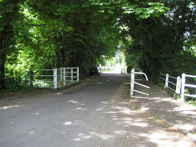
Image: © Nigel Cox Taken: 22 May 2009
Bush Hall Lane is now a quiet backwater and a no through road leading only to Image The white railings show the bridge over the River Lee. However before the A414 dual carriageway was built bypassing Mill Green this was the route of the A414 main road between Hatfield and Hertford and also the route of the main road between Hatfield and Welwyn Garden City. Certainly the Ordnance Survey 6" to the mile map of 1939 showed these arrangements, and one can only speculate as to what a bottleneck it was!
Images are licensed for reuse under creativecommons.org/licenses/by-sa/2.0
Image Location
Latitude
51.772953
Longitude
-0.203345