The village of Antony
Introduction
The photograph on this page of The village of Antony by John Baker as part of the Geograph project.
The Geograph project started in 2005 with the aim of publishing, organising and preserving representative images for every square kilometre of Great Britain, Ireland and the Isle of Man.

There are currently over 7.5m images from over 14,400 individuals and you can help contribute to the project by visiting https://www.geograph.org.uk
The village of Antony
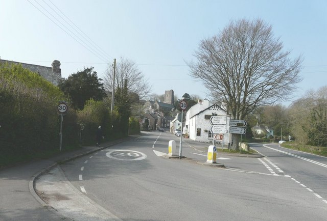
Image: © John Baker Taken: 2 Apr 2009
Taken at the junctions of the A374 to Liskeard and B3247 to Milbrook and Seaton
Images are licensed for reuse under creativecommons.org/licenses/by-sa/2.0
Image Location
Latitude
50.369631
Longitude
-4.253205