Woodland down to River Cothi
Introduction
The photograph on this page of Woodland down to River Cothi by John Duckfield as part of the Geograph project.
The Geograph project started in 2005 with the aim of publishing, organising and preserving representative images for every square kilometre of Great Britain, Ireland and the Isle of Man.

There are currently over 7.5m images from over 14,400 individuals and you can help contribute to the project by visiting https://www.geograph.org.uk
Woodland down to River Cothi
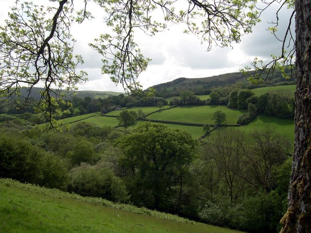
Image: © John Duckfield Taken: 20 May 2007
From Bridle path above Llethr-Llwyd
Images are licensed for reuse under creativecommons.org/licenses/by-sa/2.0
Image Location
Latitude
51.988762
Longitude
-4.01273