Old Course of the A267
Introduction
The photograph on this page of Old Course of the A267 by Simon Carey as part of the Geograph project.
The Geograph project started in 2005 with the aim of publishing, organising and preserving representative images for every square kilometre of Great Britain, Ireland and the Isle of Man.

There are currently over 7.5m images from over 14,400 individuals and you can help contribute to the project by visiting https://www.geograph.org.uk
Old Course of the A267
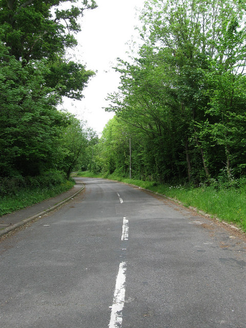
Image: © Simon Carey Taken: 23 May 2009
Rendered redundant in the 1980s when a new by-pass was built along the former railway line. Now serves as access to a few houses and Mayfield cricket ground.
Images are licensed for reuse under creativecommons.org/licenses/by-sa/2.0
Image Location
Latitude
51.015585
Longitude
0.249125