Road junction near Tre-wern Wood
Introduction
The photograph on this page of Road junction near Tre-wern Wood by Brian Robert Marshall as part of the Geograph project.
The Geograph project started in 2005 with the aim of publishing, organising and preserving representative images for every square kilometre of Great Britain, Ireland and the Isle of Man.

There are currently over 7.5m images from over 14,400 individuals and you can help contribute to the project by visiting https://www.geograph.org.uk
Road junction near Tre-wern Wood
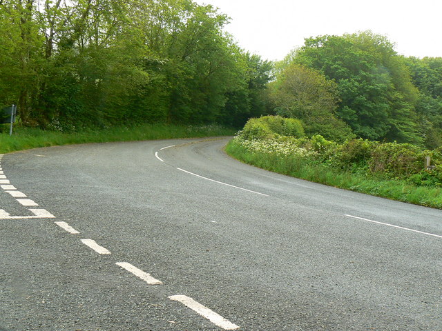
Image: © Brian Robert Marshall Taken: 22 May 2009
The road leading away from the viewpoint was once the main route west from Whitland. It has now been replaced by a relatively new road, the A40. The road entering at the left is called Fron Hill.
Images are licensed for reuse under creativecommons.org/licenses/by-sa/2.0
Image Location


Leaflet Map data © OpenStreetMap
Latitude
51.822859
Longitude
-4.651677