Countryside near Cheselbourne
Introduction
The photograph on this page of Countryside near Cheselbourne by Nigel Mykura as part of the Geograph project.
The Geograph project started in 2005 with the aim of publishing, organising and preserving representative images for every square kilometre of Great Britain, Ireland and the Isle of Man.

There are currently over 7.5m images from over 14,400 individuals and you can help contribute to the project by visiting https://www.geograph.org.uk
Countryside near Cheselbourne
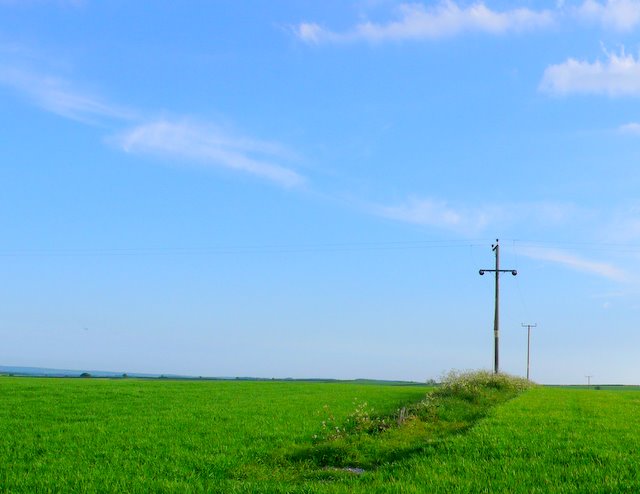
Image: © Nigel Mykura Taken: 23 May 2009
This powerline runs across fields just west of Cheselbourne close to the road between the village and Cowards Farm
Images are licensed for reuse under creativecommons.org/licenses/by-sa/2.0
Image Location
Latitude
50.799935
Longitude
-2.349728