Houses and gardens below Nelson Close, Teignmouth
Introduction
The photograph on this page of Houses and gardens below Nelson Close, Teignmouth by Robin Stott as part of the Geograph project.
The Geograph project started in 2005 with the aim of publishing, organising and preserving representative images for every square kilometre of Great Britain, Ireland and the Isle of Man.

There are currently over 7.5m images from over 14,400 individuals and you can help contribute to the project by visiting https://www.geograph.org.uk
Houses and gardens below Nelson Close, Teignmouth
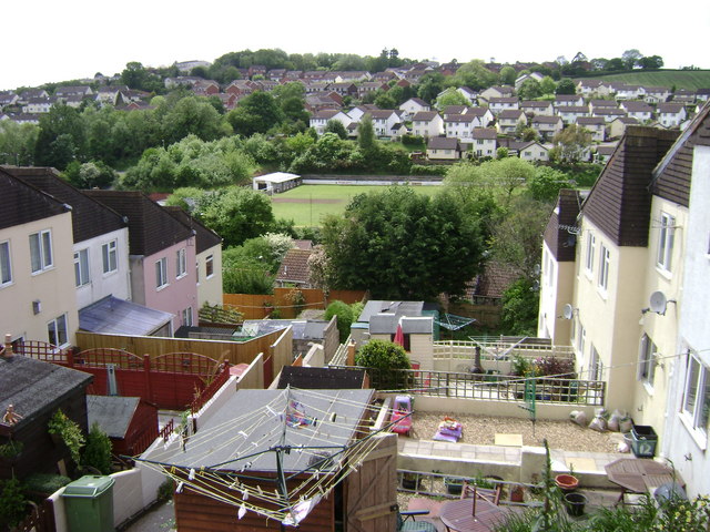
Image: © Robin Stott Taken: 19 May 2009
Looking across the football club's ground to the Moor View Drive estate, right, and the line of Headway Cross Road running up to the junction with Shepherds' Lane and Mill Lane on the skyline.
Images are licensed for reuse under creativecommons.org/licenses/by-sa/2.0
Image Location
Latitude
50.55507
Longitude
-3.509002