Hutchings Way, Teignmouth
Introduction
The photograph on this page of Hutchings Way, Teignmouth by Robin Stott as part of the Geograph project.
The Geograph project started in 2005 with the aim of publishing, organising and preserving representative images for every square kilometre of Great Britain, Ireland and the Isle of Man.

There are currently over 7.5m images from over 14,400 individuals and you can help contribute to the project by visiting https://www.geograph.org.uk
Hutchings Way, Teignmouth
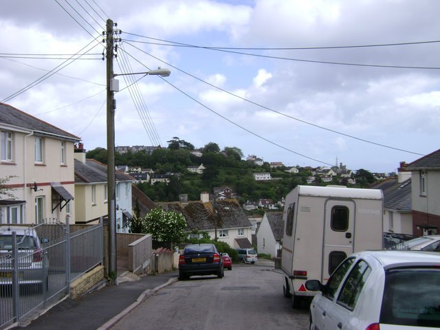
Image: © Robin Stott Taken: 19 May 2009
The upper end of Hutchings Way runs down from near the summit of the Mill Lane ridge and here looks down to the backs of houses in Cartwright Crescent. The slope is gentle compared to that further down. The unnamed hill in the distance, on the east side of the Coombe valley, dominates views of the town.
Images are licensed for reuse under creativecommons.org/licenses/by-sa/2.0
Image Location
Latitude
50.551698
Longitude
-3.512423