St Andrew's, Penrice
Introduction
The photograph on this page of St Andrew's, Penrice by Natasha Ceridwen de Chroustchoff as part of the Geograph project.
The Geograph project started in 2005 with the aim of publishing, organising and preserving representative images for every square kilometre of Great Britain, Ireland and the Isle of Man.

There are currently over 7.5m images from over 14,400 individuals and you can help contribute to the project by visiting https://www.geograph.org.uk
St Andrew's, Penrice
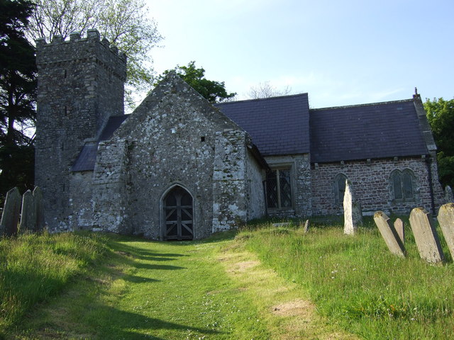
Image: © Natasha Ceridwen de Chroustchoff Taken: 11 May 2009
Another squat little Gower church with a fortified tower, but its solid construction did not prevent it from losing its roof to a storm in 1720. The original building dates back to the C13 but it has been substantially restored in subsequent centuries.
Images are licensed for reuse under creativecommons.org/licenses/by-sa/2.0
Image Location


Leaflet Map data © OpenStreetMap
Latitude
51.570045
Longitude
-4.175855