Poolbrook Common (northern end)
Introduction
The photograph on this page of Poolbrook Common (northern end) by Bob Embleton as part of the Geograph project.
The Geograph project started in 2005 with the aim of publishing, organising and preserving representative images for every square kilometre of Great Britain, Ireland and the Isle of Man.

There are currently over 7.5m images from over 14,400 individuals and you can help contribute to the project by visiting https://www.geograph.org.uk
Poolbrook Common (northern end)
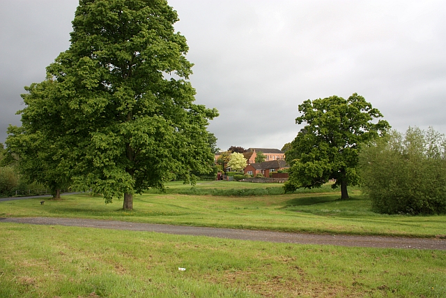
Image: © Bob Embleton Taken: 17 May 2009
To the north of the Guarlford/Barnards Green Road.
Images are licensed for reuse under creativecommons.org/licenses/by-sa/2.0
Image Location
Latitude
52.107344
Longitude
-2.304971