Burghfield Slade
Introduction
The photograph on this page of Burghfield Slade by Graham Horn as part of the Geograph project.
The Geograph project started in 2005 with the aim of publishing, organising and preserving representative images for every square kilometre of Great Britain, Ireland and the Isle of Man.

There are currently over 7.5m images from over 14,400 individuals and you can help contribute to the project by visiting https://www.geograph.org.uk
Burghfield Slade
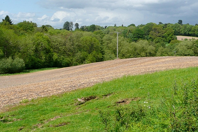
Image: © Graham Horn Taken: 19 May 2009
Farmland leading down to Burghfield Slade, a shallow river valley to the east of the village. There is a small reservoir in there somewhere.
Images are licensed for reuse under creativecommons.org/licenses/by-sa/2.0
Image Location
Latitude
51.392877
Longitude
-1.050064