Road near Penstraze
Introduction
The photograph on this page of Road near Penstraze by Derek Harper as part of the Geograph project.
The Geograph project started in 2005 with the aim of publishing, organising and preserving representative images for every square kilometre of Great Britain, Ireland and the Isle of Man.

There are currently over 7.5m images from over 14,400 individuals and you can help contribute to the project by visiting https://www.geograph.org.uk
Road near Penstraze
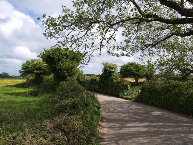
Image: © Derek Harper Taken: 18 May 2009
The road has just crossed (towards the left) the bridge illustrated in Image and is bending to the left to resume its original course to meet the old Redruth-Truro road at the top of Chacewater Hill.
Images are licensed for reuse under creativecommons.org/licenses/by-sa/2.0
Image Location
Latitude
50.263829
Longitude
-5.151217