Stag Lane underpass, SW15
Introduction
The photograph on this page of Stag Lane underpass, SW15 by Phillip Perry as part of the Geograph project.
The Geograph project started in 2005 with the aim of publishing, organising and preserving representative images for every square kilometre of Great Britain, Ireland and the Isle of Man.

There are currently over 7.5m images from over 14,400 individuals and you can help contribute to the project by visiting https://www.geograph.org.uk
Stag Lane underpass, SW15
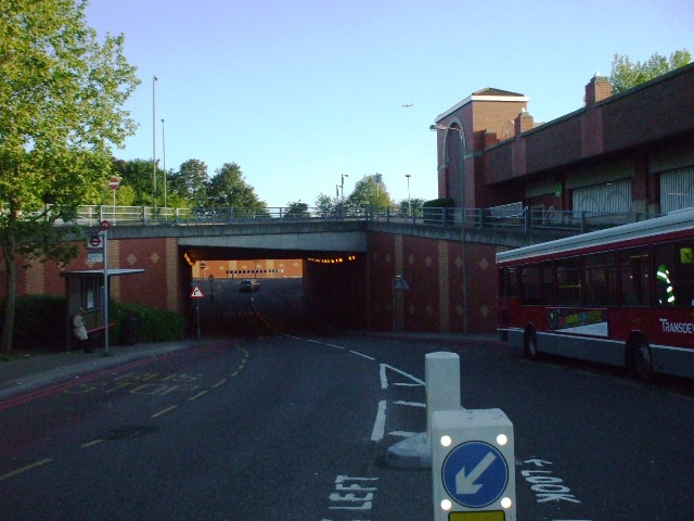
Image: © Phillip Perry Taken: 22 May 2009
The road above is the A3 Roehampton Vale. The underpass was built for local traffic and visitors for ASDA (on the right), Putney Vale cemetery & crematorium, the nearby housing estate and The Richardson Evans Memorial Ground.
Images are licensed for reuse under creativecommons.org/licenses/by-sa/2.0
Image Location
Latitude
51.438929
Longitude
-0.247562