Bridleway near Cox Hill
Introduction
The photograph on this page of Bridleway near Cox Hill by Derek Harper as part of the Geograph project.
The Geograph project started in 2005 with the aim of publishing, organising and preserving representative images for every square kilometre of Great Britain, Ireland and the Isle of Man.

There are currently over 7.5m images from over 14,400 individuals and you can help contribute to the project by visiting https://www.geograph.org.uk
Bridleway near Cox Hill
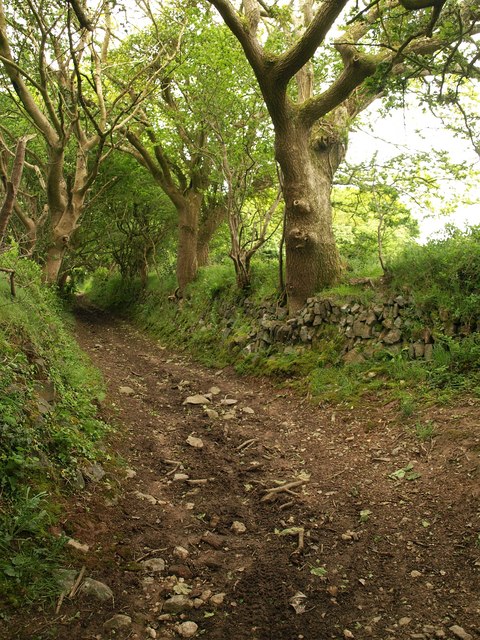
Image: © Derek Harper Taken: 18 May 2009
Bridleway 301/49/1 at a sharp bend on its way from Cox Hill to the junction from which Image was taken.
Images are licensed for reuse under creativecommons.org/licenses/by-sa/2.0
Image Location
Latitude
50.252514
Longitude
-5.167026