Approaching Pool Farm
Introduction
The photograph on this page of Approaching Pool Farm by Derek Harper as part of the Geograph project.
The Geograph project started in 2005 with the aim of publishing, organising and preserving representative images for every square kilometre of Great Britain, Ireland and the Isle of Man.

There are currently over 7.5m images from over 14,400 individuals and you can help contribute to the project by visiting https://www.geograph.org.uk
Approaching Pool Farm
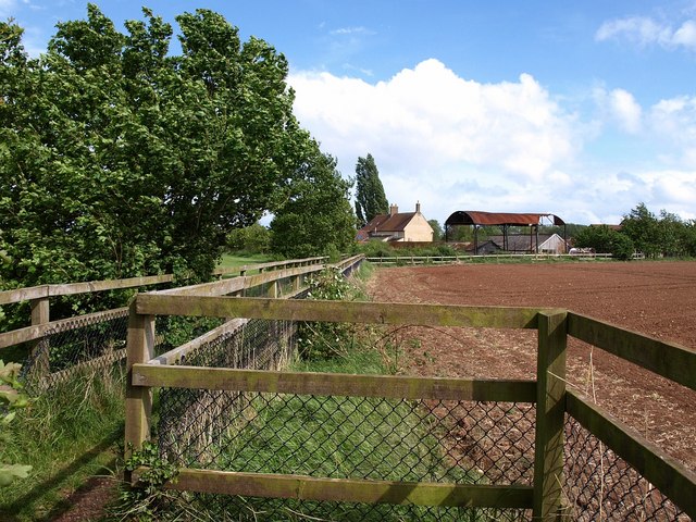
Image: © Derek Harper Taken: 16 May 2009
Pool Farm sits in almost level land near the Stockwell Stream south of Taunton. T 26/2 makes a double bend as it runs between farmland and a sports field (left).
Images are licensed for reuse under creativecommons.org/licenses/by-sa/2.0
Image Location
Latitude
51.002156
Longitude
-3.094473