Livestock, Higher Woodway Road
Introduction
The photograph on this page of Livestock, Higher Woodway Road by Robin Stott as part of the Geograph project.
The Geograph project started in 2005 with the aim of publishing, organising and preserving representative images for every square kilometre of Great Britain, Ireland and the Isle of Man.

There are currently over 7.5m images from over 14,400 individuals and you can help contribute to the project by visiting https://www.geograph.org.uk
Livestock, Higher Woodway Road
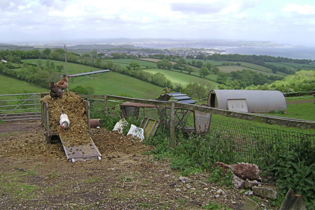
Image: © Robin Stott Taken: 17 May 2009
An enclosure, though hardly a farmyard. The view takes in the outskirts of Dawlish and the mouth of the River Exe. From here a wonderful footpath goes east to Holcombe, between Teignmouth and Dawlish.
Images are licensed for reuse under creativecommons.org/licenses/by-sa/2.0
Image Location


Leaflet Map data © OpenStreetMap
Latitude
50.564188
Longitude
-3.499409