The old track becomes a holloway
Introduction
The photograph on this page of The old track becomes a holloway by Chris Reynolds as part of the Geograph project.
The Geograph project started in 2005 with the aim of publishing, organising and preserving representative images for every square kilometre of Great Britain, Ireland and the Isle of Man.

There are currently over 7.5m images from over 14,400 individuals and you can help contribute to the project by visiting https://www.geograph.org.uk
The old track becomes a holloway
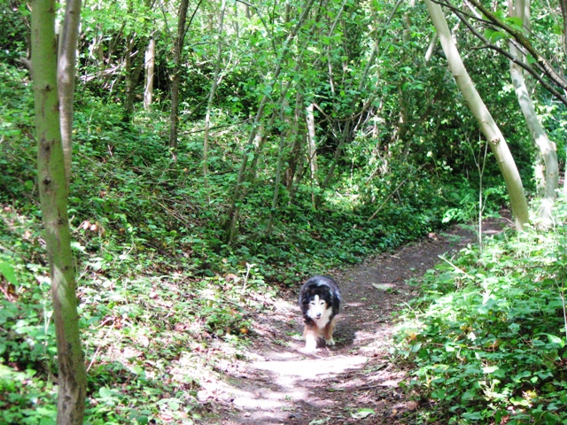
Image: © Chris Reynolds Taken: 17 May 2009
As the track proceeds up the hill it becomes more deeply incised to the point where it can clearly be described as a holloway, although it is far less deep than many that lie on the steeper parts of the Chiltern escarpment. See Image
Images are licensed for reuse under creativecommons.org/licenses/by-sa/2.0
Image Location
Latitude
51.791361
Longitude
-0.716205