Idyllic Ilston
Introduction
The photograph on this page of Idyllic Ilston by Natasha Ceridwen de Chroustchoff as part of the Geograph project.
The Geograph project started in 2005 with the aim of publishing, organising and preserving representative images for every square kilometre of Great Britain, Ireland and the Isle of Man.

There are currently over 7.5m images from over 14,400 individuals and you can help contribute to the project by visiting https://www.geograph.org.uk
Idyllic Ilston
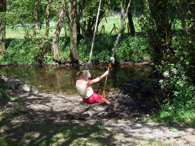
Image: © Natasha Ceridwen de Chroustchoff Taken: 11 May 2009
The stream runs through the deep, wooded Ilston cwm and joins Pennard Pill at Parkmill.
Images are licensed for reuse under creativecommons.org/licenses/by-sa/2.0
Image Location
Latitude
51.593634
Longitude
-4.085157