Stableford Bridge
Introduction
The photograph on this page of Stableford Bridge by Simon Huguet as part of the Geograph project.
The Geograph project started in 2005 with the aim of publishing, organising and preserving representative images for every square kilometre of Great Britain, Ireland and the Isle of Man.

There are currently over 7.5m images from over 14,400 individuals and you can help contribute to the project by visiting https://www.geograph.org.uk
Stableford Bridge
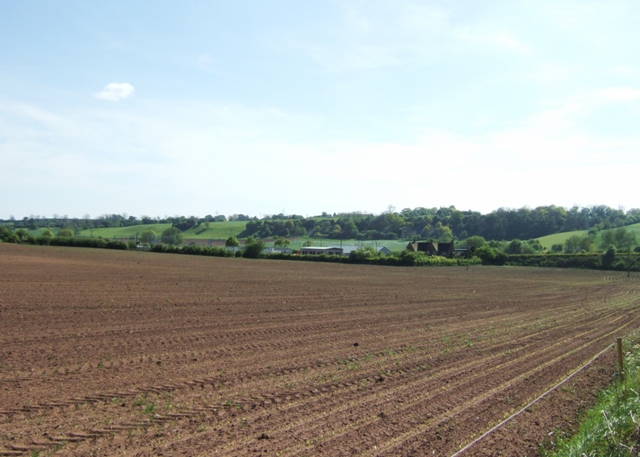
Image: © Simon Huguet Taken: 12 May 2009
Looking from Dog Lane towards the hamlet of Stableford Bridge and Bluebell Bank Wood at Chapel Chorlton.
Images are licensed for reuse under creativecommons.org/licenses/by-sa/2.0
Image Location
Latitude
52.945285
Longitude
-2.272143