River Eamont
Introduction
The photograph on this page of River Eamont by Michael Graham as part of the Geograph project.
The Geograph project started in 2005 with the aim of publishing, organising and preserving representative images for every square kilometre of Great Britain, Ireland and the Isle of Man.

There are currently over 7.5m images from over 14,400 individuals and you can help contribute to the project by visiting https://www.geograph.org.uk
River Eamont
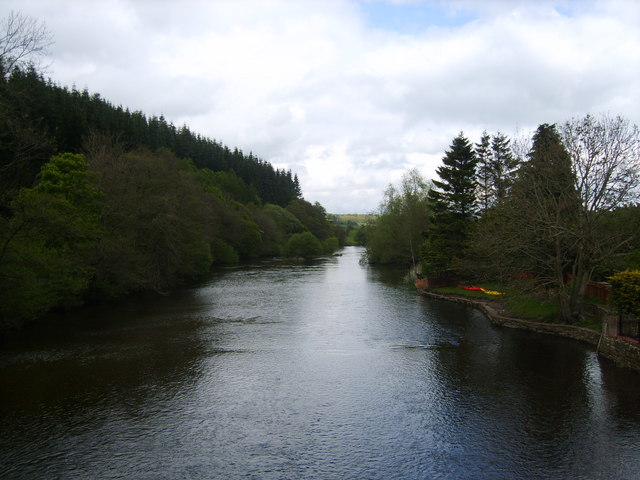
Image: © Michael Graham Taken: 16 May 2009
From the bridge at Pooley Bridge. The gridline of the square runs up the middle of the river here. Not visible in shot today however.
Images are licensed for reuse under creativecommons.org/licenses/by-sa/2.0
Image Location
Latitude
54.613318
Longitude
-2.821076