Sydling Valley
Introduction
The photograph on this page of Sydling Valley by Nigel Mykura as part of the Geograph project.
The Geograph project started in 2005 with the aim of publishing, organising and preserving representative images for every square kilometre of Great Britain, Ireland and the Isle of Man.

There are currently over 7.5m images from over 14,400 individuals and you can help contribute to the project by visiting https://www.geograph.org.uk
Sydling Valley
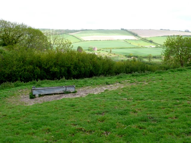
Image: © Nigel Mykura Taken: 17 May 2009
The water trough is neaxt to the bridle way that climbs west from Huish in the Sydling valley to Break Heart Hill. The Sydling valley is beyond in bright sunlight.
Images are licensed for reuse under creativecommons.org/licenses/by-sa/2.0
Image Location


Leaflet Map data © OpenStreetMap
Latitude
50.786409
Longitude
-2.527092