North End, Buckingham
Introduction
The photograph on this page of North End, Buckingham by mick finn as part of the Geograph project.
The Geograph project started in 2005 with the aim of publishing, organising and preserving representative images for every square kilometre of Great Britain, Ireland and the Isle of Man.

There are currently over 7.5m images from over 14,400 individuals and you can help contribute to the project by visiting https://www.geograph.org.uk
North End, Buckingham
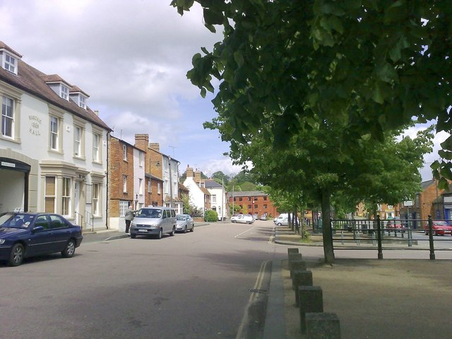
Image: © mick finn Taken: 16 May 2009
View of North End Square from the old cattle market. The bus stand is beyond the turning and the building to the left with the arched driveway is the old Masonic Hall.
Images are licensed for reuse under creativecommons.org/licenses/by-sa/2.0
Image Location
Latitude
52.002309
Longitude
-0.98434