Ty Mawr, Gwyddelwern
Introduction
The photograph on this page of Ty Mawr, Gwyddelwern by Eirian Evans as part of the Geograph project.
The Geograph project started in 2005 with the aim of publishing, organising and preserving representative images for every square kilometre of Great Britain, Ireland and the Isle of Man.

There are currently over 7.5m images from over 14,400 individuals and you can help contribute to the project by visiting https://www.geograph.org.uk
Ty Mawr, Gwyddelwern
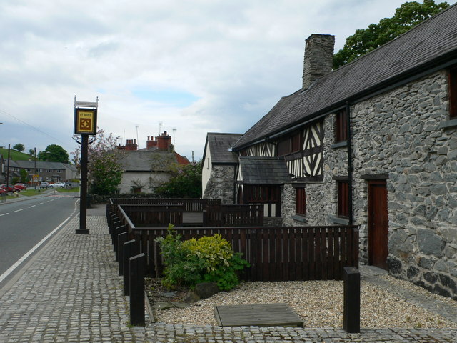
Image: © Eirian Evans Taken: 13 May 2009
A very old hostelry which has been renovated at great expense to bring it back to former glory. Unfortunately, it has now closed.
Images are licensed for reuse under creativecommons.org/licenses/by-sa/2.0
Image Location
Latitude
53.009233
Longitude
-3.379768