Bramhall Centre
Introduction
The photograph on this page of Bramhall Centre by Keith Williamson as part of the Geograph project.
The Geograph project started in 2005 with the aim of publishing, organising and preserving representative images for every square kilometre of Great Britain, Ireland and the Isle of Man.

There are currently over 7.5m images from over 14,400 individuals and you can help contribute to the project by visiting https://www.geograph.org.uk
Bramhall Centre
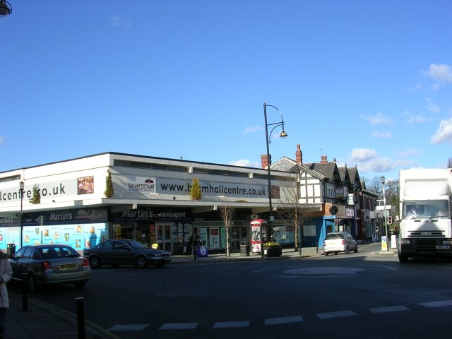
Image: © Keith Williamson Taken: 1 Mar 2006
Looking roughly north. Bramhall Lane South goes off to the right. Ack Lane East comes in from the left. Taken from the end of Woodford Road.
Images are licensed for reuse under creativecommons.org/licenses/by-sa/2.0
Image Location


Leaflet Map data © OpenStreetMap
Latitude
53.357174
Longitude
-2.165833