Matthias Road, Stoke Newington
Introduction
The photograph on this page of Matthias Road, Stoke Newington by Stephen McKay as part of the Geograph project.
The Geograph project started in 2005 with the aim of publishing, organising and preserving representative images for every square kilometre of Great Britain, Ireland and the Isle of Man.

There are currently over 7.5m images from over 14,400 individuals and you can help contribute to the project by visiting https://www.geograph.org.uk
Matthias Road, Stoke Newington
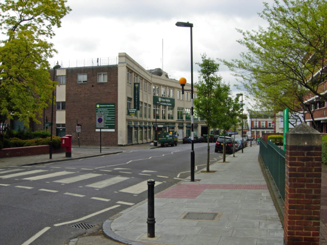
Image: © Stephen McKay Taken: 15 May 2009
On the southern edge of Stoke Newington, Matthias Road runs east of Newington Green and forms the boundary between the boroughs of Islington (to the right) and Hackney (to the left). The block on the right is part of the Mayville Estate.
Images are licensed for reuse under creativecommons.org/licenses/by-sa/2.0
Image Location
Latitude
51.552317
Longitude
-0.080501