Cage Yard
Introduction
The photograph on this page of Cage Yard by Ian Capper as part of the Geograph project.
The Geograph project started in 2005 with the aim of publishing, organising and preserving representative images for every square kilometre of Great Britain, Ireland and the Isle of Man.

There are currently over 7.5m images from over 14,400 individuals and you can help contribute to the project by visiting https://www.geograph.org.uk
Cage Yard
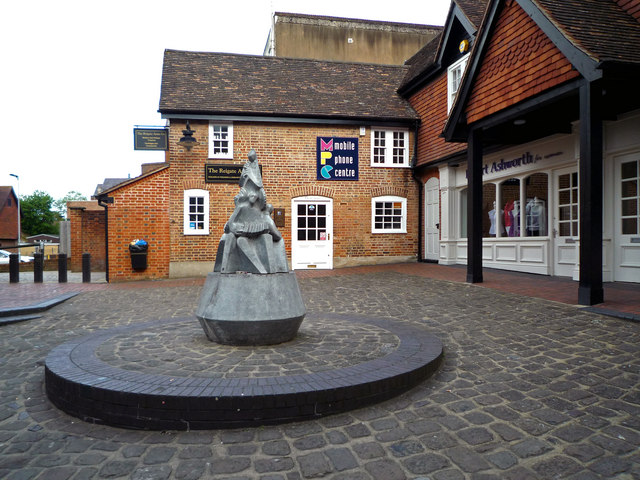
Image: © Ian Capper Taken: 3 May 2009
So called, because it contains the former "cage" or prison (see Image). The building behind the statue dates from the late 17th Century and is grade IIc listed (i.e. in the curtilage of the building on the right, part of 31 - 37 High Street, which is grade II listed).
Images are licensed for reuse under creativecommons.org/licenses/by-sa/2.0
Image Location
Latitude
51.237419
Longitude
-0.207555