Raith Reservoir
Introduction
The photograph on this page of Raith Reservoir by Mary and Angus Hogg as part of the Geograph project.
The Geograph project started in 2005 with the aim of publishing, organising and preserving representative images for every square kilometre of Great Britain, Ireland and the Isle of Man.

There are currently over 7.5m images from over 14,400 individuals and you can help contribute to the project by visiting https://www.geograph.org.uk
Raith Reservoir
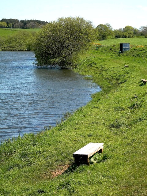
Image: © Mary and Angus Hogg Taken: 12 May 2009
The shoreline at the far end of Raith Reservoir. Fishing is for members of Prestwick Angling Club.
Images are licensed for reuse under creativecommons.org/licenses/by-sa/2.0
Image Location
Latitude
55.51131
Longitude
-4.538495