Brick meets Corrugated Iron
Introduction
The photograph on this page of Brick meets Corrugated Iron by David Lally as part of the Geograph project.
The Geograph project started in 2005 with the aim of publishing, organising and preserving representative images for every square kilometre of Great Britain, Ireland and the Isle of Man.

There are currently over 7.5m images from over 14,400 individuals and you can help contribute to the project by visiting https://www.geograph.org.uk
Brick meets Corrugated Iron
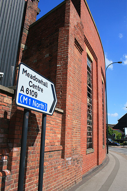
Image: © David Lally Taken: 12 May 2009
The brick frontage on the corner of Upwell Street and Brightside Lane has behind it a more common corrugated facctory building. for wide shot see http://www.geograph.org.uk/photo/1302103.
Images are licensed for reuse under creativecommons.org/licenses/by-sa/2.0
Image Location
Latitude
53.405394
Longitude
-1.428014