Artesian Well
Introduction
The photograph on this page of Artesian Well by Ian Paterson as part of the Geograph project.
The Geograph project started in 2005 with the aim of publishing, organising and preserving representative images for every square kilometre of Great Britain, Ireland and the Isle of Man.

There are currently over 7.5m images from over 14,400 individuals and you can help contribute to the project by visiting https://www.geograph.org.uk
Artesian Well
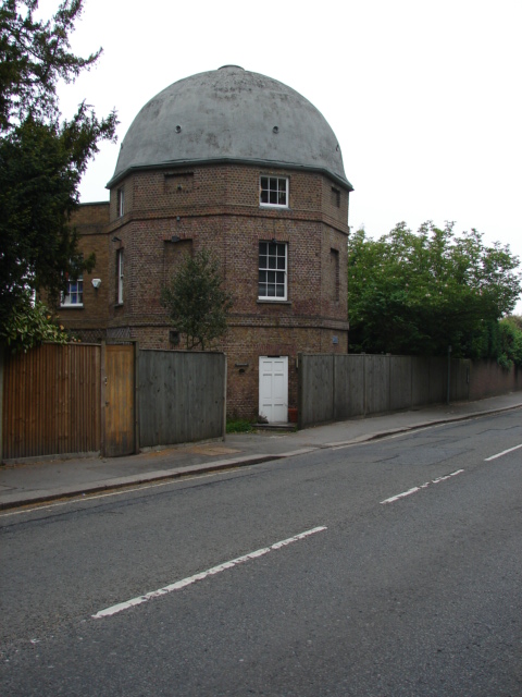
Image: © Ian Paterson Taken: 13 May 2009
The plaque on the side of the property reads: 'Built to provide water for Earl Spencer's house, nearby in 1763. In 1798 the well was increased in depth to over 500ft, but it soon silted up. The building was converted to a private house in 1976.' The building is one of the waypoints in the local Heritage Trail.
Images are licensed for reuse under creativecommons.org/licenses/by-sa/2.0
Image Location
Latitude
51.42953
Longitude
-0.208793