Moss-side of Allathan
Introduction
The photograph on this page of Moss-side of Allathan by Anne Burgess as part of the Geograph project.
The Geograph project started in 2005 with the aim of publishing, organising and preserving representative images for every square kilometre of Great Britain, Ireland and the Isle of Man.

There are currently over 7.5m images from over 14,400 individuals and you can help contribute to the project by visiting https://www.geograph.org.uk
Moss-side of Allathan
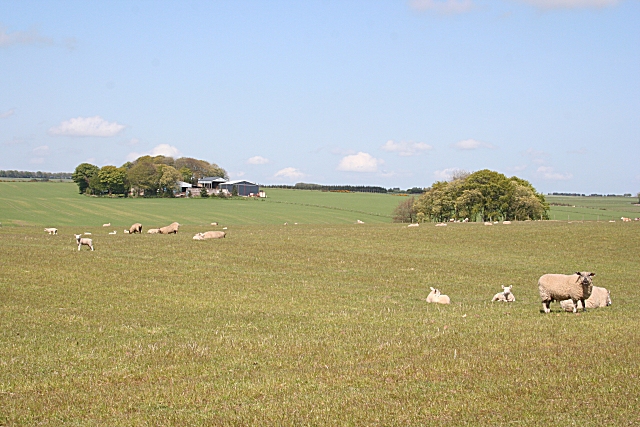
Image: © Anne Burgess Taken: 14 May 2009
I would have expected the clump of trees on the right to indicate the presence of another farm, but there is none marked on the map there. The farm to the left is Moss-side of Allathan.
Images are licensed for reuse under creativecommons.org/licenses/by-sa/2.0
Image Location
Latitude
57.52602
Longitude
-2.265139