The estuary of the River Wampool at Anthorn
Introduction
The photograph on this page of The estuary of the River Wampool at Anthorn by Andrew Smith as part of the Geograph project.
The Geograph project started in 2005 with the aim of publishing, organising and preserving representative images for every square kilometre of Great Britain, Ireland and the Isle of Man.

There are currently over 7.5m images from over 14,400 individuals and you can help contribute to the project by visiting https://www.geograph.org.uk
The estuary of the River Wampool at Anthorn
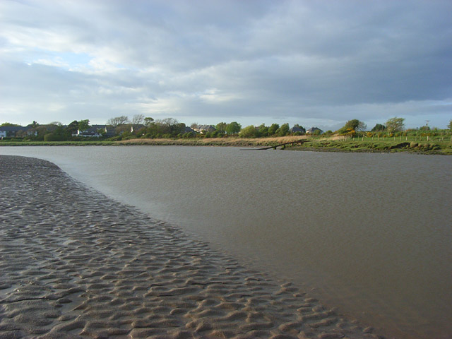
Image: © Andrew Smith Taken: 1 May 2009
The tidal channel of the river is here heading roughly northwards before turning to the west and then south on its way to the Solway Firth. The eastern end of Anthorn is in the background.
Images are licensed for reuse under creativecommons.org/licenses/by-sa/2.0
Image Location
Latitude
54.912989
Longitude
-3.247881