Driveway to Rammamere Farm
Introduction
The photograph on this page of Driveway to Rammamere Farm by Mr Biz as part of the Geograph project.
The Geograph project started in 2005 with the aim of publishing, organising and preserving representative images for every square kilometre of Great Britain, Ireland and the Isle of Man.

There are currently over 7.5m images from over 14,400 individuals and you can help contribute to the project by visiting https://www.geograph.org.uk
Driveway to Rammamere Farm
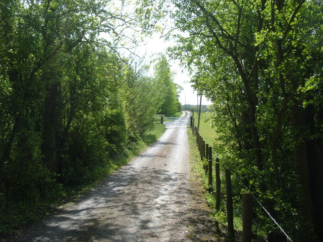
Image: © Mr Biz Taken: 12 May 2009
This driveway is also a bridleway according to my OS map, which joins up with the Greensand Ridge & Milton Keynes Boundary Walks.
Images are licensed for reuse under creativecommons.org/licenses/by-sa/2.0
Image Location
Latitude
51.969999
Longitude
-0.657827