Ellon
Introduction
The photograph on this page of Ellon by Anne Burgess as part of the Geograph project.
The Geograph project started in 2005 with the aim of publishing, organising and preserving representative images for every square kilometre of Great Britain, Ireland and the Isle of Man.

There are currently over 7.5m images from over 14,400 individuals and you can help contribute to the project by visiting https://www.geograph.org.uk
Ellon
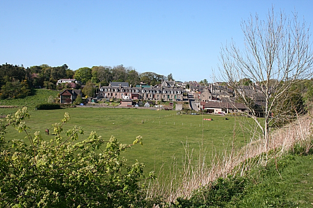
Image: © Anne Burgess Taken: 11 May 2009
This is as far as the western outskirts of Ellon extended until the expansion of the town in recent decades. The view is from the former railway viaduct.
Images are licensed for reuse under creativecommons.org/licenses/by-sa/2.0
Image Location
Latitude
57.366287
Longitude
-2.089425