Vera Grove
Introduction
The photograph on this page of Vera Grove by Paul Glazzard as part of the Geograph project.
The Geograph project started in 2005 with the aim of publishing, organising and preserving representative images for every square kilometre of Great Britain, Ireland and the Isle of Man.

There are currently over 7.5m images from over 14,400 individuals and you can help contribute to the project by visiting https://www.geograph.org.uk
Vera Grove
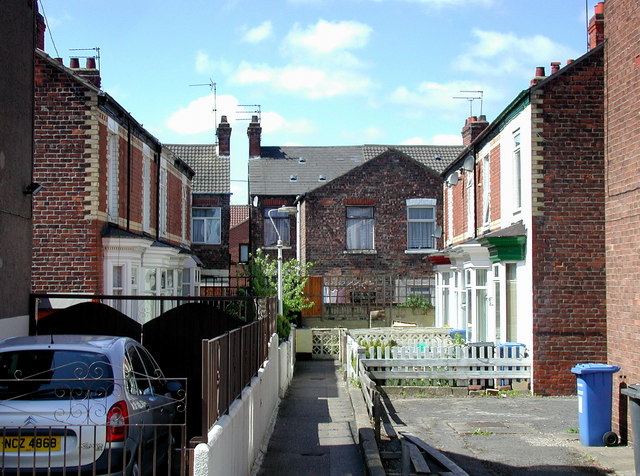
Image: © Paul Glazzard Taken: 11 May 2009
Looking west-southwest from Stirling Street off the south side of Anlaby Road, Hull, towards the back of No.37 Hawthorn Avenue. The houses on this narrow terraced street have been earmarked by the city council for frontage improvement between now and 2011. Nos.29-99 Hawthorn Avenue are due to be demolished between 2014 and 2017.
Images are licensed for reuse under creativecommons.org/licenses/by-sa/2.0
Image Location
Latitude
53.742855
Longitude
-0.382579