Hill of Dens
Introduction
The photograph on this page of Hill of Dens by Anne Burgess as part of the Geograph project.
The Geograph project started in 2005 with the aim of publishing, organising and preserving representative images for every square kilometre of Great Britain, Ireland and the Isle of Man.

There are currently over 7.5m images from over 14,400 individuals and you can help contribute to the project by visiting https://www.geograph.org.uk
Hill of Dens
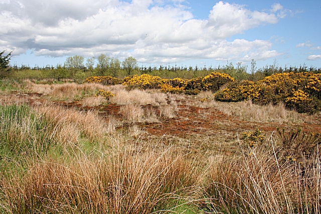
Image: © Anne Burgess Taken: 11 May 2009
The 1:25,000 map shows a small pond here, but it is evidently some time since there was much water. It also shows a trig point somewhere to the right, but though I spent some time looking for it I failed to find it.
Images are licensed for reuse under creativecommons.org/licenses/by-sa/2.0
Image Location
Latitude
57.500403
Longitude
-2.080743