Field next to Church Lane
Introduction
The photograph on this page of Field next to Church Lane by Simon Carey as part of the Geograph project.
The Geograph project started in 2005 with the aim of publishing, organising and preserving representative images for every square kilometre of Great Britain, Ireland and the Isle of Man.

There are currently over 7.5m images from over 14,400 individuals and you can help contribute to the project by visiting https://www.geograph.org.uk
Field next to Church Lane
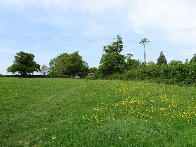
Image: © Simon Carey Taken: 10 May 2009
Taken from the footpath that runs from Hazeldens Nurseries to Albourne church. The hedge at the top of the slope marks the course of the lane.
Images are licensed for reuse under creativecommons.org/licenses/by-sa/2.0
Image Location
Latitude
50.933126
Longitude
-0.209003