Church Lane, Bramshott
Introduction
The photograph on this page of Church Lane, Bramshott by Colin Smith as part of the Geograph project.
The Geograph project started in 2005 with the aim of publishing, organising and preserving representative images for every square kilometre of Great Britain, Ireland and the Isle of Man.

There are currently over 7.5m images from over 14,400 individuals and you can help contribute to the project by visiting https://www.geograph.org.uk
Church Lane, Bramshott
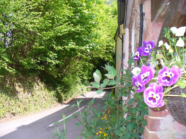
Image: © Colin Smith Taken: 10 May 2009
One of many deeply incised lanes in this East Hampshire village. The old trackways have sunk down through the sandstone.
Images are licensed for reuse under creativecommons.org/licenses/by-sa/2.0
Image Location


Leaflet Map data © OpenStreetMap
Latitude
51.089289
Longitude
-0.803562